简报
(第二期)
RESIL FARM 项目组
2026年3月13日
RESIL FARM项目第二次项目研讨会顺利召开
Steffen Fritz 博士等现场参加研讨
2026年3月13日,RESIL FARM项目外方合作成员、奥地利国际应用系统分析研究所(IIASA)首席科学家 Steffen Fritz 博士 到访中国农业科学院农业资源与农业区划研究所,并参加第二次项目组专家学术研讨会。项目负责人 余强毅研究员,任务负责人中科院地理资源所 史文娇研究员、中科院空天信息研究院 张淼副研究员 等一同出席会议。
本次研讨以本项目研究中农田基础设施发展与生物多样性保护间存在显著矛盾为切入点,聚焦全球代表性区域选取、中外农田站点相似性匹配分析、农田系统可持续韧性指数开发等实际问题展开交流,并梳理出三方面研究重点:
三方面研究重点:
一是农田基础设施。讨论关注到了非洲存储贮藏能力不足致粮食产后高损耗、南美农产品收储与价格博弈等区域性问题,明确除灌溉、道路等相关常规设施外,需将粮食存储设施纳入研究范围。
二是作物多样性种植。依托遥感与实地数据整合分析,监测小麦、水稻等主要作物的轮作模式,研究小尺度种植多样性监测技术。
三是农田边界遥感识别。通过采用图像比对结合时序遥感数据辅助农田硬、软边界识别,探索经验知识与机器学习融合的技术应用,通过农田边界划定众包、开源算法等丰富数据集。
研讨过程也明确了三个关键技术挑战:(1)遥感技术对小田块、复杂种植模式的识别难度大;(2)机器学习模型存在“黑箱”问题,无关变量易被误判为关键因素,需专业知识验证;(3)中外均存在农业政策与生产现实的冲突,如中国高标准农田建设对部分种植类型的限制、欧洲部分农民难以转型保护性农业。
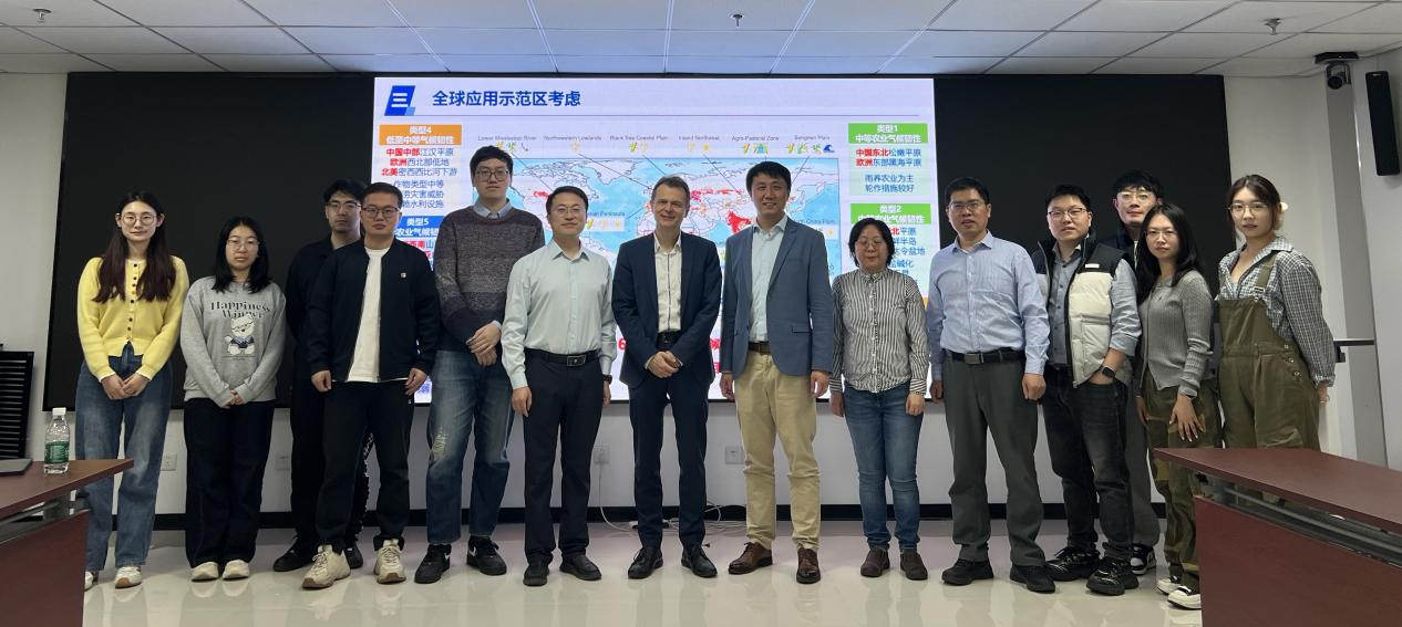
图:第二次项目组专家学术研讨会参会人员合影及应用示范区探讨
同时,项目组讨论制定了下一步工作计划:开展农田边界划定众包活动,结合开源算法完善数据数字化,优化农田识别与田块估算技术;深化全球跨区域比较分析,探索绿色基础设施与农业生产的协同路径;完善模型开发,对比不同算法变量贡献度,提升模型解释性与准确性;加强国际团队协作,共享数据与方法,通过多学科方法量化农田基础设施发展的全球区域差异,破解效率提升与生态保护的平衡难题。
Briefing (Issue No. 2)
RESIL FARM Project Holds the Second Discussion Meeting
On March 13, 2026, Dr. Steffen Fritz, principal research scholar of the International Institute for Applied Systems Analysis (IIASA) in Austria and an international collaborator of the RESIL FARM project, visited the Institute of Agricultural Resources and Regional Planning (IARRP) of the Chinese Academy of Agricultural Sciences (CAAS) and attended the second Expert Academic Seminar of the project team. Project leader Dr. Yu Qiangyi, project task leader Professor Shi Wenjiao from the Institute of Geographic Sciences and Natural Resources Research of the Chinese Academy of Sciences (CAS), associate researcher Dr. Zhang Miao from the Aerospace Information Research Institute (AIRI) of CAS, and other project members were present at the seminar.
Centering on the prominent contradiction between farmland infrastructure development and biodiversity conservation in the research of this project, the seminar conducted in-depth exchanges on practical issues including the selection of globally representative regions, similarity matching analysis of Chinese and international farmland research sites, and the development of a sustainable resilience index for farmland systems. Three key research priorities were identified through the discussion: First, farmland infrastructure. The discussion highlighted regional issues such as high post-harvest grain loss caused by inadequate storage capacity in Africa and the game between agricultural product storage and pricing in South America, clarifying that grain storage facilities, in addition to conventional facilities such as irrigation and road systems, should be incorporated into the research scope. Second, diversified crop cultivation. Based on the integrated analysis of remote sensing and field data, the research will monitor the rotation patterns of major crops such as wheat and rice, and develop monitoring technologies for small-scale planting diversity. Third, remote sensing identification of farmland boundaries. By adopting image comparison combined with time-series remote sensing data to assist in the identification of physical and functional farmland boundaries, the project will explore the technical application of fusing empirical knowledge with machine learning, and enrich the dataset through crowdsourcing of farmland boundary delineation and open-source algorithms.
The seminar also identified three critical technical challenges: (1) Remote sensing technologies face great difficulties in identifying small farm plots and complex planting patterns; (2) Machine learning models have the "black box" problem, where irrelevant variables are prone to being misjudged as key factors and thus require verification with professional domain knowledge; (3) Conflicts between agricultural policies and actual production practices exist in both China and other countries—for instance, restrictions on certain types of cultivation in the construction of well-facilitated farmland in China, and the reluctance of some European farmers to switch to conservation agriculture.
Meanwhile, the project team discussed and formulated the follow-up work plan: launch a crowdsourcing campaign for farmland boundary delineation, improve data digitalization by combining open-source algorithms, and optimize technologies for farmland identification and plot size estimation; further strengthen global cross-regional comparative analysis to explore synergistic pathways between green infrastructure and agricultural production; refine model development, compare the contribution of variables across different algorithms, and enhance the interpretability and accuracy of the models; intensify collaboration with the international research team, share research data and methodologies, quantify the global regional differences in farmland infrastructure development through interdisciplinary approaches, and address the core challenge of balancing efficiency improvement and ecological conservation.